Drone Surveys in Tweed Heads
Get a FREE Quote in Tweed heads
Thank you for contacting Environment Restoration Solutions.
We will get back to you as soon as possible.
Oops, there was an error sending your message.
Please try again later.
Environmental care & practical earthworks solutions.
See Your Site Clearly
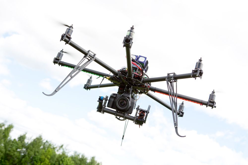
Some sites are difficult to understand from ground level alone. Large blocks, uneven terrain and dense vegetation can make it hard to see how the land actually behaves across the property. That is where aerial mapping becomes useful. Environment Restoration Solutions carries out professional drone surveys in Tweed Heads to help contractors, councils and landowners gain a clearer picture of their site. Using high-resolution aerial imagery, we capture detailed views that highlight terrain changes, drainage paths and vegetation coverage. This information helps project teams plan earthworks, restoration work and site access more effectively.
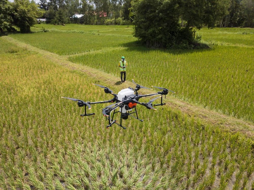
Many projects across Tweed Heads benefit from having an accurate overview before machinery arrives on-site. Drone surveys can also support environmental monitoring and progress tracking during a project. Clear aerial data allows clients to make better-informed decisions about how their land should be managed.
To arrange reliable drone surveys in Tweed Heads, contact us on 0400 525 426.

Frequently Asked Questions
How can project planners make the most of drone survey data?
Project planners can gain the most value from drone survey data by integrating it into early planning and site assessment stages. Detailed aerial maps allow planners to review terrain, slopes and drainage patterns before construction or restoration work begins. This information can help guide decisions about site layout, access routes and earthworks planning. Combining drone data with other planning tools or site reports can improve overall project understanding. When used effectively, aerial survey data helps reduce uncertainty and supports more informed planning decisions.
What role do aerial surveys play in environmental monitoring?
Aerial surveys provide a useful way to observe environmental conditions across large areas of land. Drone imagery can reveal patterns in vegetation growth, soil disturbance or erosion that may not be visible during ground inspections alone. By comparing images captured at different stages of a project, environmental changes can be tracked over time. This helps identify areas where restoration efforts are working or where additional management may be needed. Aerial monitoring supports a broader understanding of how land conditions respond to construction or environmental activities.
What insights can drone surveys provide after major earthworks?
After major earthworks, drone surveys can provide a clear overview of how the land has been reshaped. Aerial imagery can show changes in ground levels, newly formed slopes and the layout of drainage paths across the site. These images help planners confirm whether earthmoving has achieved the intended design. Drone data can also highlight areas where soil movement or erosion may require further stabilisation. Reviewing the site from above allows project teams to assess the condition of the land before moving to the next stage of development.
Aerial Mapping for Complex Sites
Land around Tweed Heads often includes varied terrain that can influence how construction or restoration projects should proceed. Drone surveys allow project teams to review the entire site from above, revealing details that may be difficult to identify during a ground-based inspection. High-quality aerial imagery can highlight slopes, drainage channels and vegetation patterns that affect planning decisions. This broader perspective helps contractors prepare for earthworks, identify erosion-prone areas and plan safe site access.
Drone surveys also provide visual records that can be referenced throughout the life of a project. Clients frequently use aerial imagery to monitor site conditions and track environmental changes over time. Our surveys focus on delivering clear and useful information that supports practical decision-making. Reliable aerial data helps project teams approach land management with greater confidence. For projects across Tweed Heads, drone surveys provide a practical way to understand the land before work begins.