Drone Surveys in Australia
Get a FREE Quote
Thank you for contacting Environment Restoration Solutions.
We will get back to you as soon as possible.
Oops, there was an error sending your message.
Please try again later.
Environmental care & practical earthworks solutions.
Drone Surveys for Accurate Site Insights
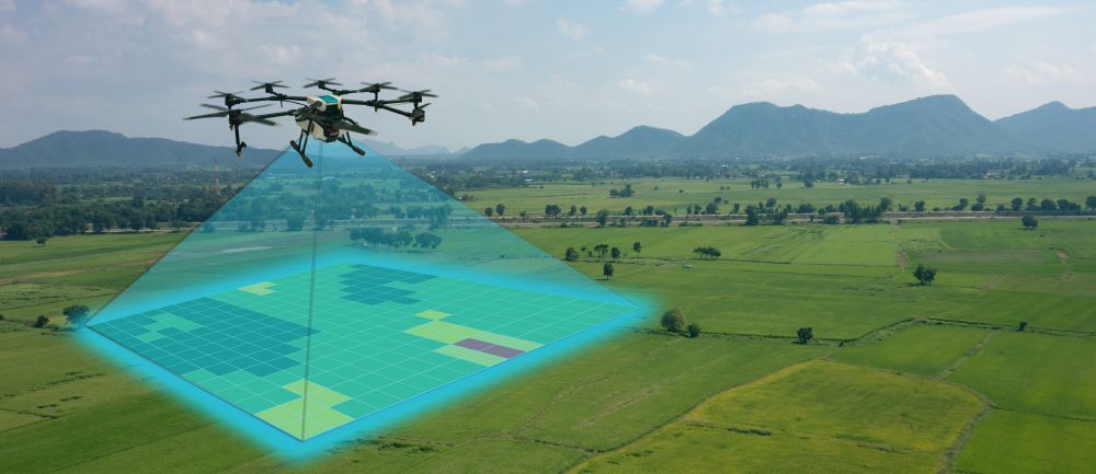
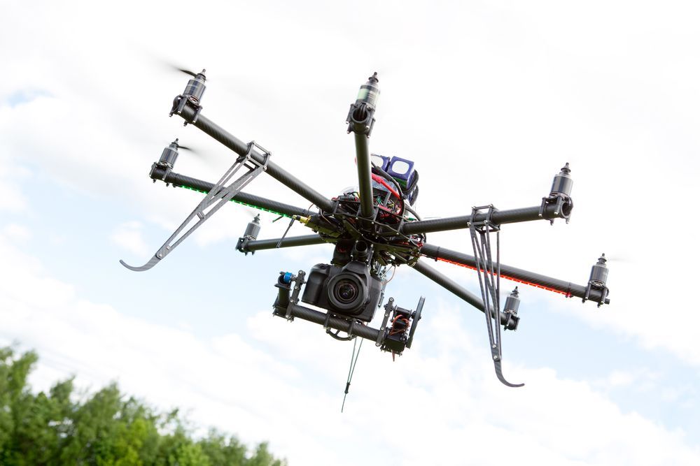
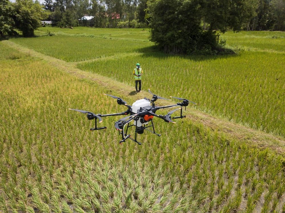
Clear, reliable site data makes planning and environmental management far more effective. At Environment Restoration Solutions, we provide professional drone surveys nationwide that help construction companies, councils and landowners understand site conditions before and during a project. Our team operates under a CASA Remotely Piloted Operator Certificate, using advanced equipment including the DJI Matrice 4E, Mavic 3E and DJI M350 fitted with L2 LiDAR and an H2 thermal camera. This allows us to deliver accurate aerial surveys, construction and farm mapping, solar panel analysis, erosion and geomorphic flow assessment, as well as thermal imaging for wildlife and feral pest surveys. We also produce detailed 3D modelling of landforms to support planning and monitoring.
Accurate aerial data makes decision-making easier on complex sites. For drone survey services, contact our team on 0400 525 426 to discuss your project.
Frequently Asked Questions
What are drone surveys used for in construction and environmental projects?
Drone surveys are used to capture aerial imagery and site data that supports planning, monitoring and environmental management. Construction and environmental projects often cover large areas that can be difficult to assess from ground level alone. Drone technology allows high-resolution images and mapping data to be collected quickly, providing a clearer understanding of terrain, vegetation and surface conditions. This information can assist with site assessments, project planning and monitoring changes across the landscape during different stages of development or restoration.
Why are drone surveys useful for large or difficult sites?
Large construction sites, rural properties and restoration areas can be difficult to inspect thoroughly from the ground. Drone surveys provide a broader aerial perspective that reveals details that may otherwise go unnoticed. Uneven terrain, erosion channels and drainage patterns become easier to identify when viewed from above. This aerial overview allows project managers and environmental specialists to better understand how the land behaves and where attention may be required.
How do drone surveys help with environmental monitoring?
Drone surveys can help track environmental conditions over time by capturing repeat imagery of the same location. This allows changes in vegetation coverage, soil movement or erosion patterns to be observed across different stages of a project. Monitoring these changes helps identify potential environmental risks early and supports responsible land management decisions. Aerial imagery also provides visual records that can be used for environmental reporting or planning purposes.
Aerial Data for Site Planning
Drone surveys provide a practical way to gather high-quality site information without disrupting ongoing work. The aerial perspective allows survey data to be captured across large or difficult-to-access areas quickly and safely. This information can support project planning, environmental monitoring and land assessment by showing site conditions in detail. Drone imagery also helps track progress during construction or restoration projects, allowing changes in terrain or vegetation to be monitored over time. Reliable aerial data helps improve site management and supports more informed environmental decision-making.