Drone Surveys in Port Macquarie
Get a FREE Quote in Port Macquarie
Thank you for contacting Environment Restoration Solutions.
We will get back to you as soon as possible.
Oops, there was an error sending your message.
Please try again later.
Environmental care & practical earthworks solutions.
Aerial Surveys for Project Planning
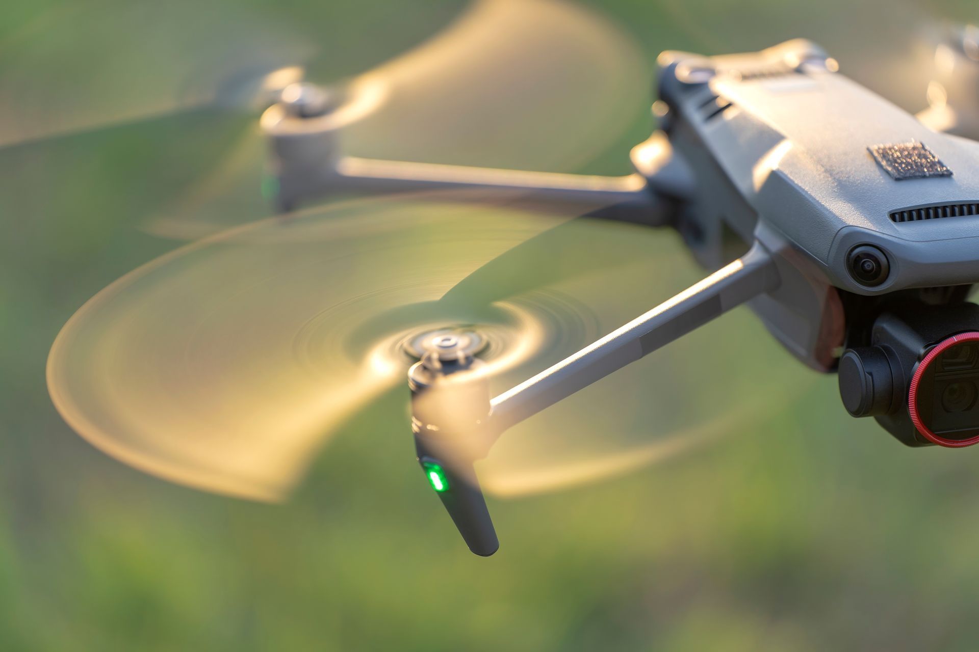
Clear aerial imagery can change how a project is planned from the very beginning. Large properties, construction sites and restoration areas around Port Macquarie often include terrain features that are difficult to assess from ground level alone. Using drone technology, we capture high-resolution aerial data that helps project teams better understand site conditions before work begins. Environment Restoration Solutions provides reliable drone surveys in Port Macquarie that support construction planning, land assessment and environmental monitoring.
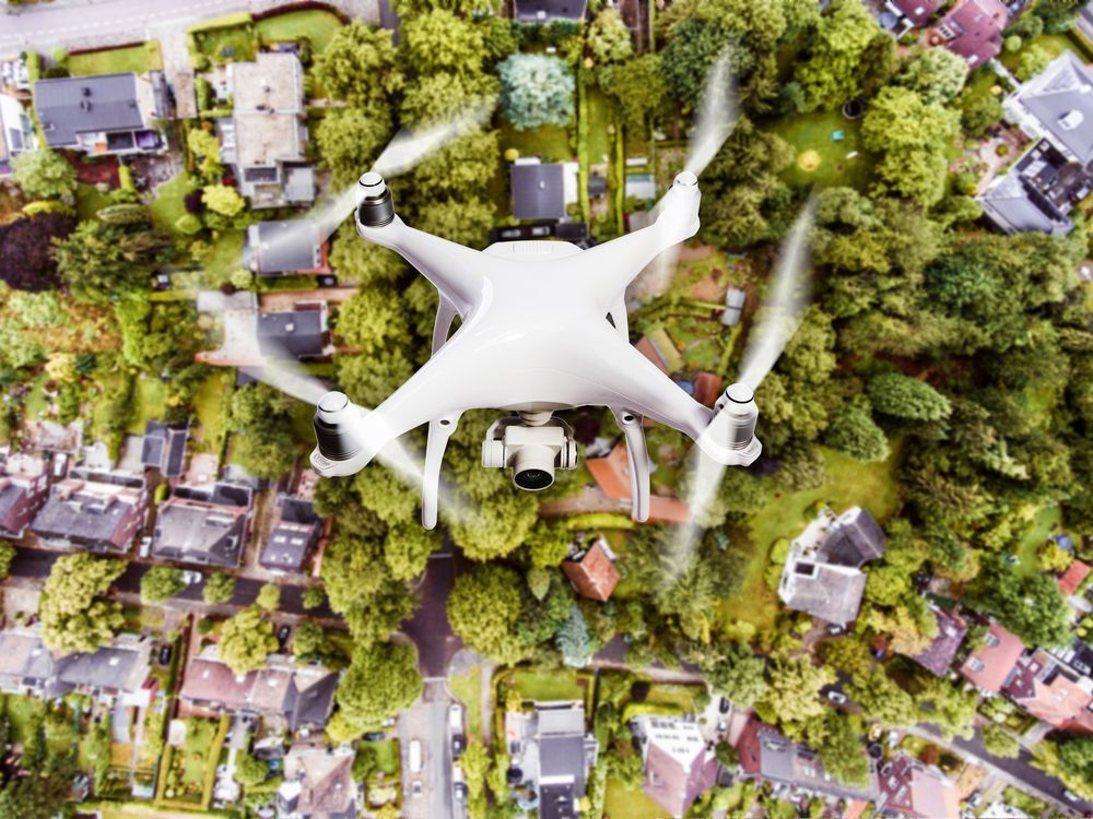
Aerial mapping can reveal drainage paths, vegetation coverage and terrain changes that may influence earthworks or restoration activities. Contractors and landowners rely on drone surveys to gain a clearer overview of their site and identify potential challenges early. This approach helps reduce uncertainty and supports better decision-making across a project. Accurate site data can also assist with monitoring progress over time as conditions change.
We focus on delivering clear aerial information that clients can use to plan with confidence. To arrange professional drone surveys in Port Macquarie, contact us on 0400 525 426.
Frequently Asked Questions
How can drone surveys help track site changes over time?
Drone surveys make it easier to monitor how a site evolves throughout different stages of a project. By capturing aerial imagery at regular intervals, planners can compare images from different dates and identify changes in terrain, vegetation or soil conditions. This is particularly useful on construction sites or restoration areas where land conditions may shift as work progresses. Visual comparisons help highlight erosion, vegetation growth or ground disturbance that may require attention. Consistent aerial records also create a documented history of how the site has developed.
What weather conditions may impact the success of a drone survey?
Weather plays an important role in the quality and safety of drone survey operations. Strong winds can affect flight stability and cause blurred or inconsistent images. Rain and heavy moisture can interfere with equipment and reduce image clarity. Overcast conditions may still allow surveys to proceed, but very low light can limit image detail. Bright sunlight can also create strong shadows that obscure ground features in aerial photographs. Survey planning often takes weather forecasts into account to ensure stable flying conditions and clear imagery.
What benefits do repeat drone surveys provide during a project?
Repeating drone surveys during a project provides ongoing insight into how the site is changing over time. Updated aerial data allows project teams to measure progress, confirm that earthworks or restoration tasks are developing as planned and identify new issues early. This can help prevent small problems, such as drainage changes or soil movement, from becoming larger concerns. Repeat surveys also provide visual documentation that can be used for reporting or project reviews. Having multiple data sets from different stages of a project supports better decision making throughout the process.

Mapping Land Conditions from Above
Looking at land from above often reveals details that are difficult to recognise during standard site inspections. Drone surveys allow project teams across Port Macquarie to review terrain, vegetation and drainage patterns in a much broader context. High-quality aerial imagery can help identify erosion risks, uneven ground and access limitations before work begins. This information becomes particularly useful when planning earthworks or environmental restoration across larger properties.
Drone mapping also provides a visual record of site conditions that can be referenced throughout the life of a project. Many clients use this data to track changes in vegetation growth or land stability over time. Our approach focuses on gathering accurate information that supports practical decisions on-site. By combining drone technology with environmental knowledge, we help clients understand how their land behaves. Reliable aerial data provides a strong foundation for project planning and responsible land management in Port Macquarie.