Drone Surveys in Coffs Harbour
Get a FREE Quote Coffs Harbour
Thank you for contacting Environment Restoration Solutions.
We will get back to you as soon as possible.
Oops, there was an error sending your message.
Please try again later.
Environmental care & practical earthworks solutions.
Aerial Surveys for Better Site Planning
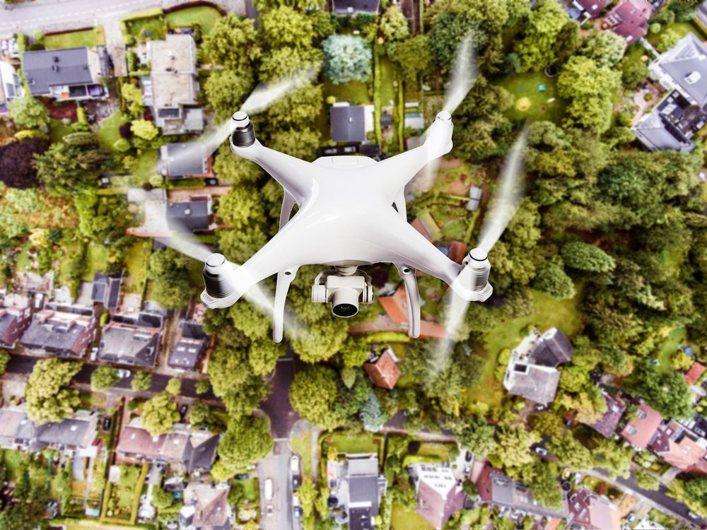
Understanding land conditions before starting a project can save time, reduce risk and improve decision-making. Our drone surveys in Coffs Harbour give construction companies, councils and landowners a clear aerial view of their site before work begins. Using drone technology, we capture high-resolution imagery that helps identify terrain features, drainage patterns and potential environmental concerns. This information makes it easier to plan earthworks, restoration work or site development with confidence.
At Environment Restoration Solutions, we combine practical field experience with reliable aerial data to support smarter project planning. Our drone surveys allow large or difficult areas to be assessed quickly without disrupting the site. Local contractors value this approach because it helps them visualise the site and make better-informed decisions. Clear aerial data can also assist with monitoring environmental conditions across a project.
When you need reliable drone surveys in Coffs Harbour, our team is ready to help. Call 0400 525 426 to discuss your project and request a quote.
Frequently Asked Questions
How accurate is aerial mapping produced by drones?
Modern drone mapping can achieve very high levels of accuracy when the survey is carried out using proper equipment and processing methods. High-resolution cameras capture detailed imagery that is then combined using specialised software to produce precise maps and measurements. Accuracy can be improved further by using ground control points, which help align the aerial images with known locations on the ground. This process allows survey data to represent terrain features, distances and elevation changes with a strong level of reliability. For many planning and environmental projects, drone mapping provides a practical and dependable source of site information.
How do drone surveys support environmental restoration projects?
Drone surveys help environmental restoration by providing a clear overview of land conditions before and after restoration work takes place. Aerial imagery can identify areas affected by erosion, vegetation loss or drainage issues, allowing planners to understand the scope of restoration required. The same technology can then be used to monitor changes over time, showing how vegetation is recovering or how soil stability is improving. This visual data helps guide restoration strategies and evaluate the effectiveness of rehabilitation work. Regular aerial monitoring also helps detect new environmental issues early so they can be addressed quickly.
What types of maps or models can be created from drone survey data?
Drone survey data can be processed into several useful mapping products that support planning and analysis. Orthomosaic maps provide detailed overhead images of a site that are corrected for scale and distortion, making them suitable for measurements. Digital surface models and elevation maps can show how land height varies across a property, helping identify slopes and drainage patterns. Three dimensional terrain models can also be generated to visualise how the land is shaped. These outputs allow planners, engineers and environmental specialists to examine site conditions in greater detail.
Accurate Data from Above
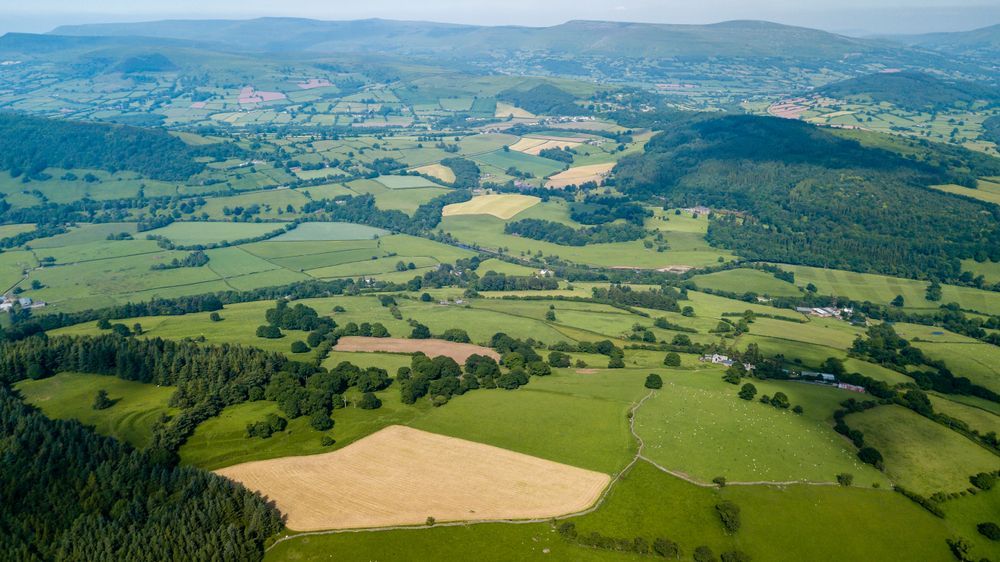
Drone surveys give project teams a broader perspective of land conditions across Coffs Harbour and the surrounding region. Capturing imagery from above makes it easier to identify terrain changes, vegetation coverage and areas that may require stabilisation or restoration. This aerial perspective often reveals details that are difficult to recognise during ground inspections alone. We carry out surveys carefully to gather clear data that can assist with planning and monitoring site activity. The information collected helps construction teams plan access, assess erosion risks and understand how the land behaves.
For restoration projects, drone imagery can also help track vegetation growth and landscape changes over time. Our team focuses on delivering useful information that supports real decisions on-site. By combining environmental knowledge with drone technology, we provide practical insights for landowners and project managers. For projects across Coffs Harbour, aerial surveys offer a fast and reliable way to understand the land before work begins.